

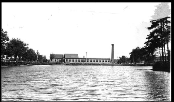
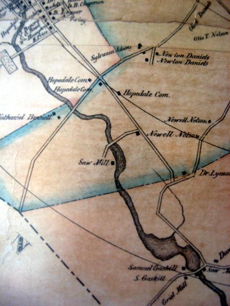
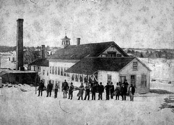
An early Hopedale map. You can see the entire map on the wall in the reference room at the Bancroft Memorial Library. The Westcott Mill was at the site of Gaskill grist and saw mills in the lower right corner. |
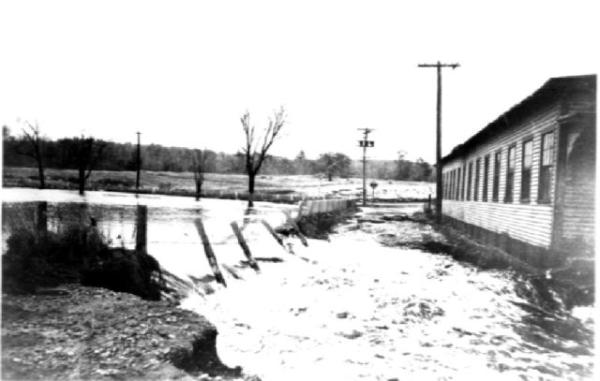
November 24, 1927 |

pictures of it, click on the picture |
MC Machine, on March 20, 2007. |


it's a pretty good bet that it's August. |
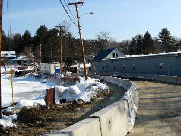
before the project to replace the bridge and dam began. |
February 4, 2008 |
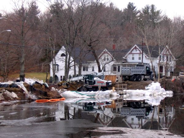
January 1, 2009 |


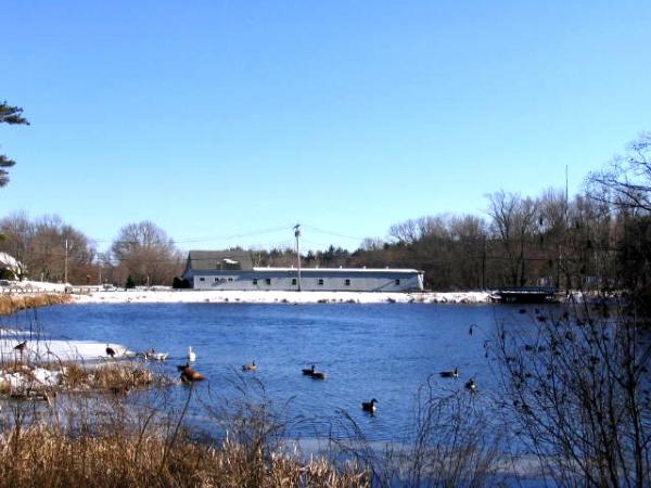
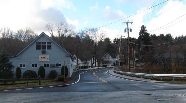
May 4, 2009 |
October 14, 2009 |
Just below the dam, November 20, 2009 |
November 20, 2009 |
Spindleville Pond, Mill (aka Westcott Mill), Dam, and Vicinity Flood in Spindleville, 2008 The bridge and dam project , December 2 - 4, 2008 The 1927, 1938 and 1955 floods in Spindleville 1955 Flood Now and Then Menu December 12, 2008 Flood Spindleville HOME . |

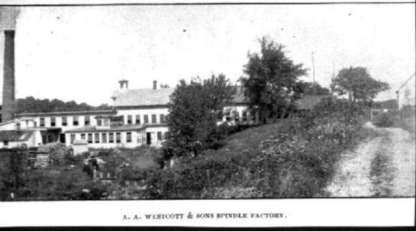
From an 1897 Sanborn insurance map. |