


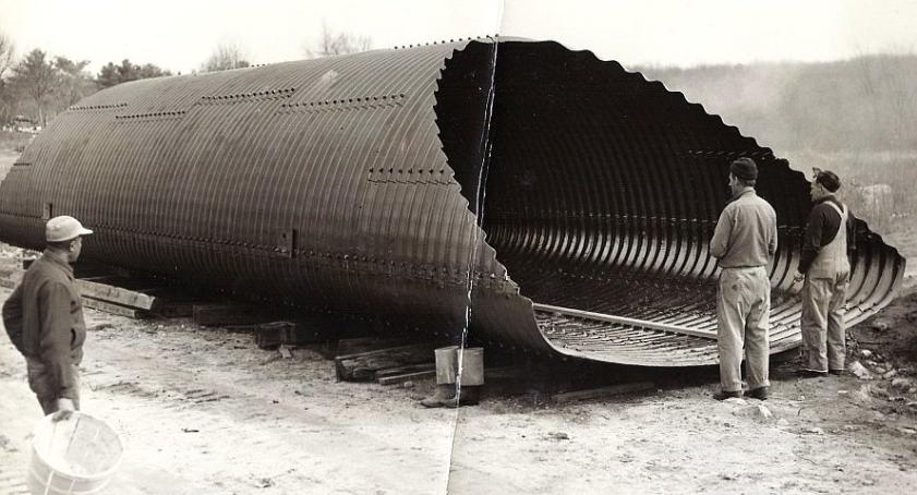
The photos of the culvert for the Charles River at Howard Street were taken in November 1953. Thanks to Charlie Gaffney for them. The one with the Milford News caption taken by Nick Tosches. |
the railroad track, taken in March 2013. |
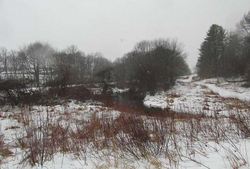
The Charles River near Howard Street. |
Howard Street, near the river. The river is under the road in the foreground. |


Howard Street and the Charles River In the Google Earth views, (thanks, DJ) the line between Hopedale and Milford is the white line that runs more or less from the top middle to the lower right. The Milford wastewater plant is in the upper left of the upper one and the middle of the lower one. The town line follows the river, roughly, but not exactly. I presume that's because the river has meandered a bit since the town line was drawn. Actually, if the Google Earth town line is correct, the river has meandered noticeably since 1953, since the caption under the Milford News photo says the river was located in both Milford and Hopedale.
about a quarter of the way over from the right side, is Howard Street, Milford. The other end of it, not seen here, is at Route 140 near the Hopedale/Milford town line sign. Mellen Street bridge South Hopedale Menu Now and Then Menu HOME . |


crossing South Main just a little to the right of the L in Hopedale. Howard Street branches off to the left a little above the L. |