“That’s really the conversation we’re having at this point,” he said. “You know, kind of what would it look like and in what way? If you’re too general, or too vague, then it’s the Wild West. But if you’re too specific or restrictive, then that prohibits things from getting done. So that’s the balance that we’re trying to figure out.”
Draper property owner says nothing new to report
Chaplin stressed that while the Planning Board provides oversight, it is the property owner who is responsible for any redevelopment.
Matthew Shwachman, vice president at Worcester-based First American Realty Inc., said in an email to the Daily News that it has nothing new to report. First American Realty is headed by Philip O. Shwachman, who owns the Hopedale property.
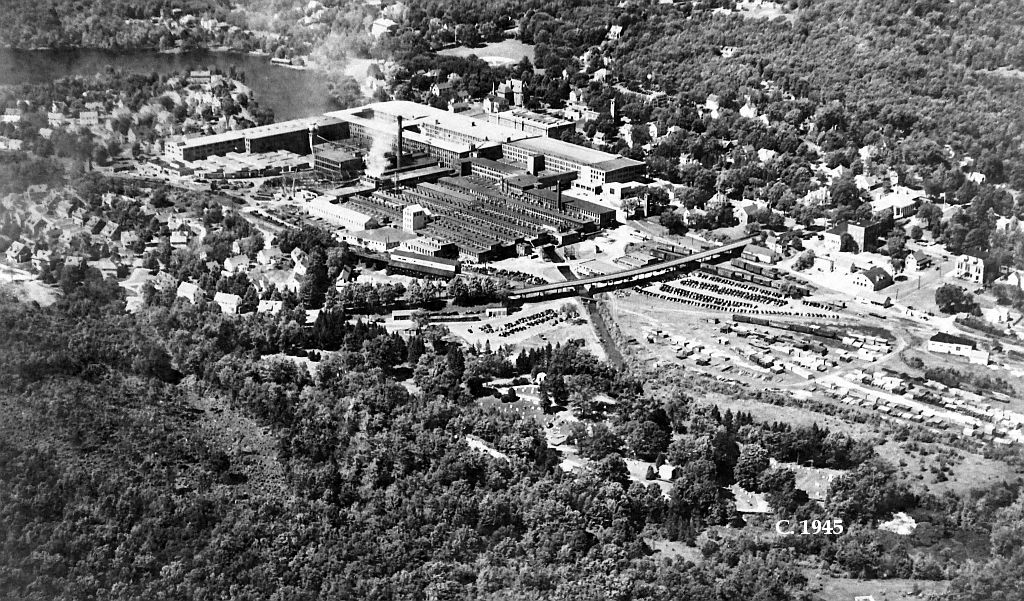
Draper Corp. ceased operation in 1980, then the factory sat idle for decades as different plans and proposals were considered.
In November 2018, Philip Shwachman filed a lawsuit against local businesses, town boards and individuals over a downtown redevelopment plan that involved the Draper property. The lawsuit claimed the defendants conspired to take Shwachman’s land by eminent domain, and that he was not adequately consulted in the redevelopment plan.
The suit was settled a year later, with the town scrapping its redevelopment plan and agreeing to keep Shwachman in the loop on any new plans going forward.
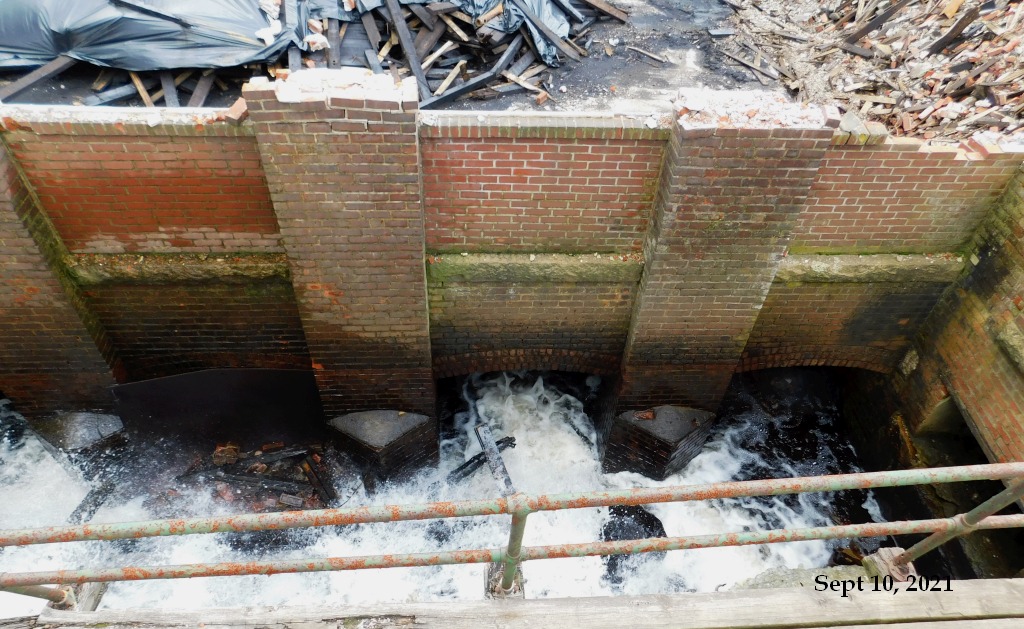
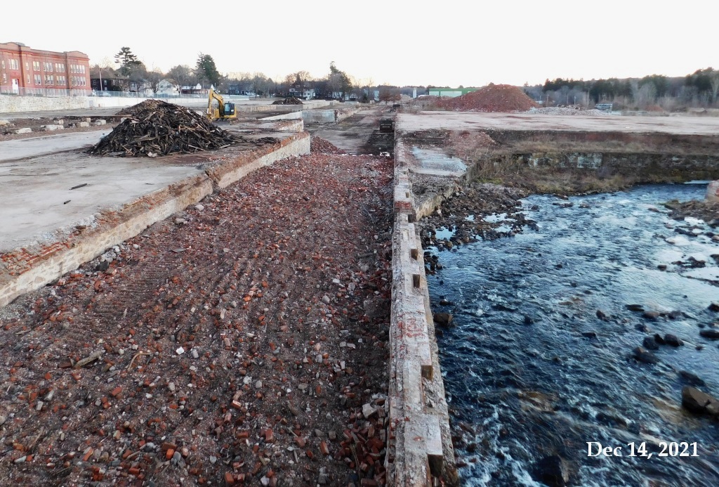
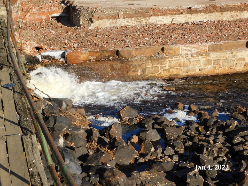
Philip Shwachman told the Daily News in March 2021 that there’s “a vision” for open space that can “daylight the river, open it up from Freedom Street all the way to Route 16.”
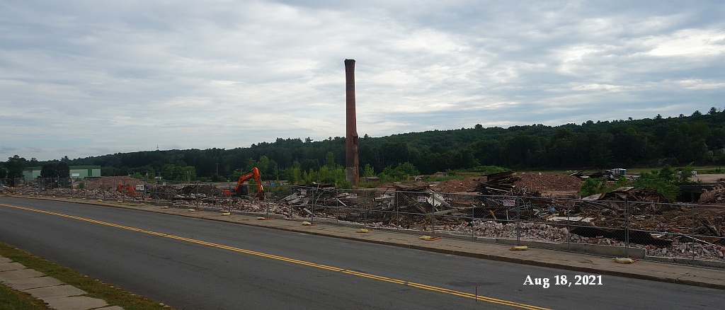
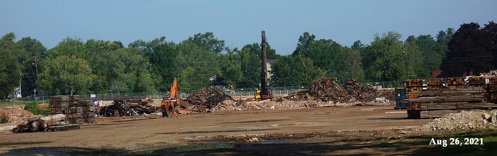
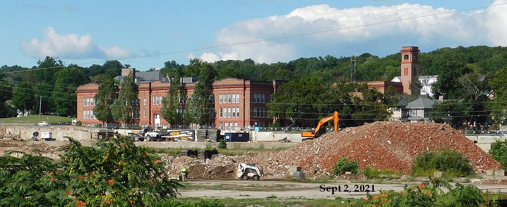
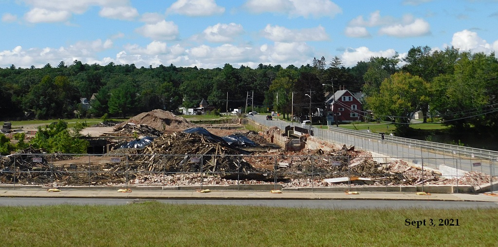
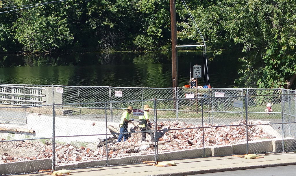
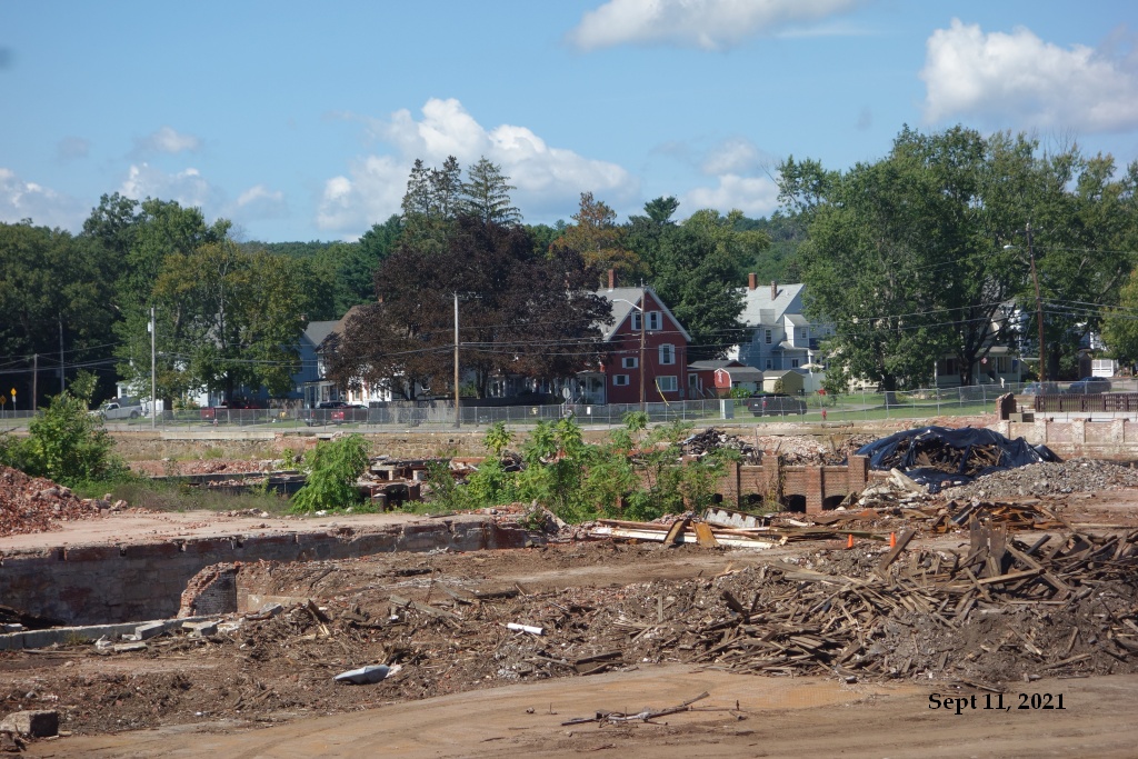
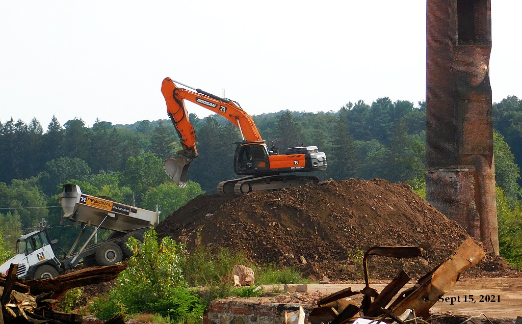
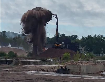
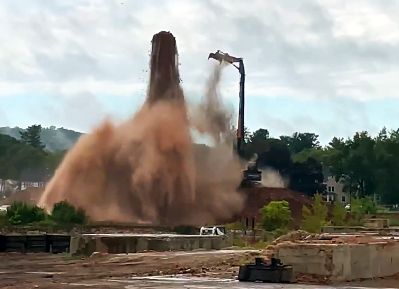
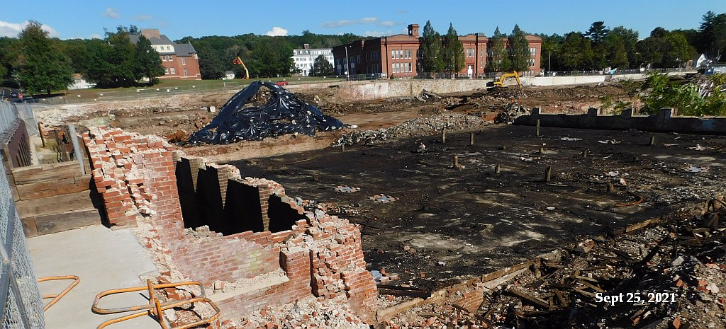
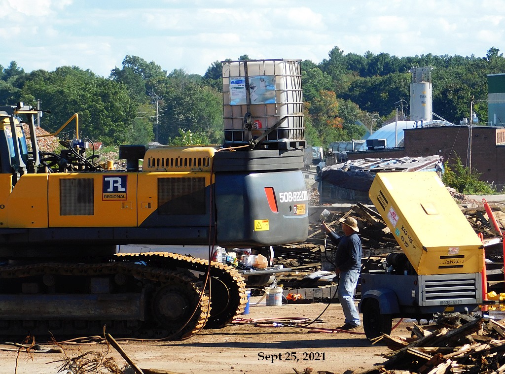
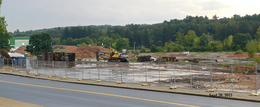
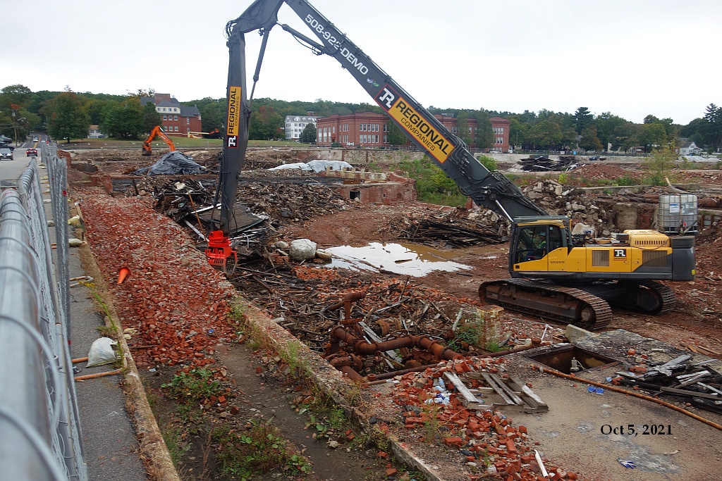
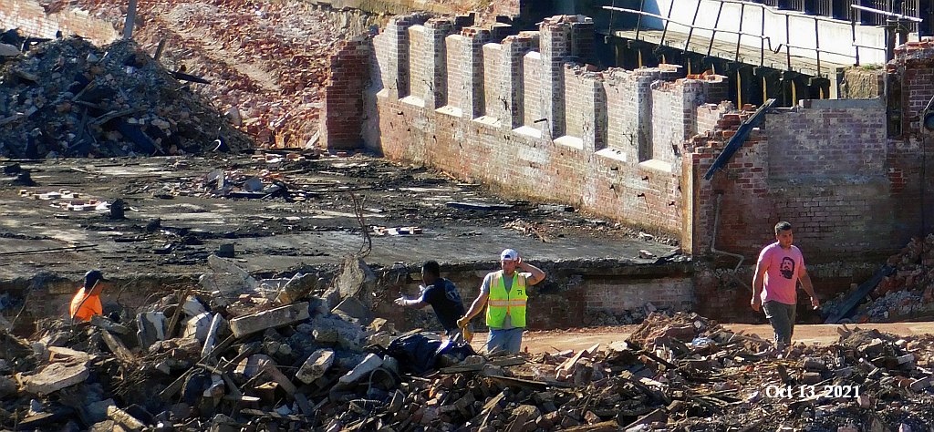
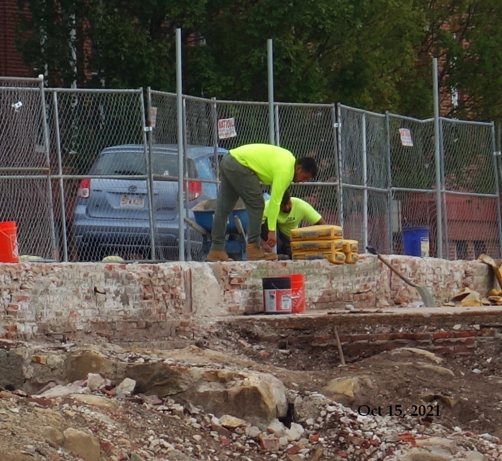
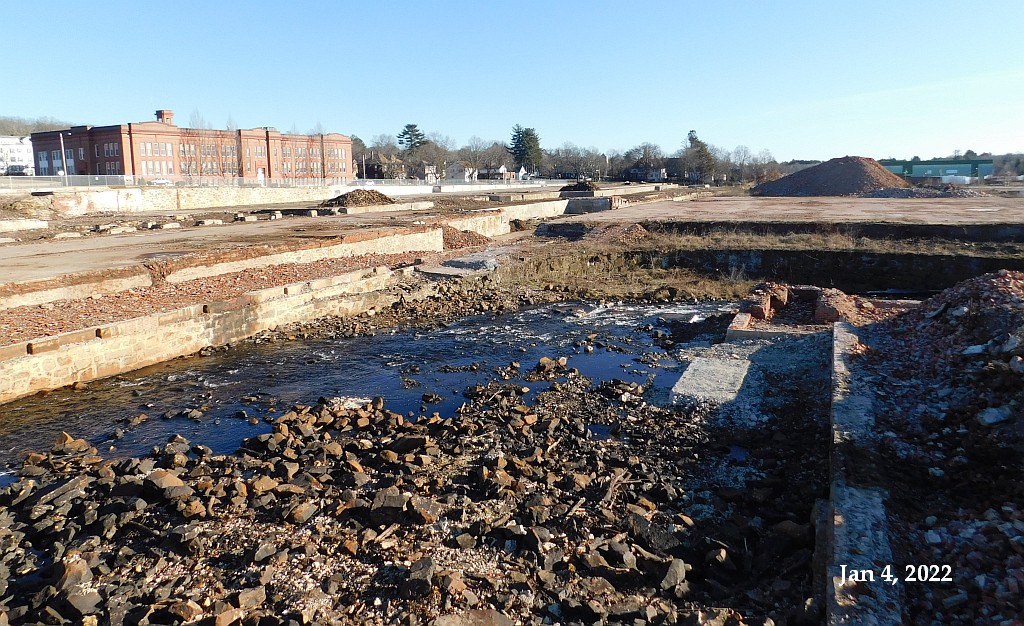
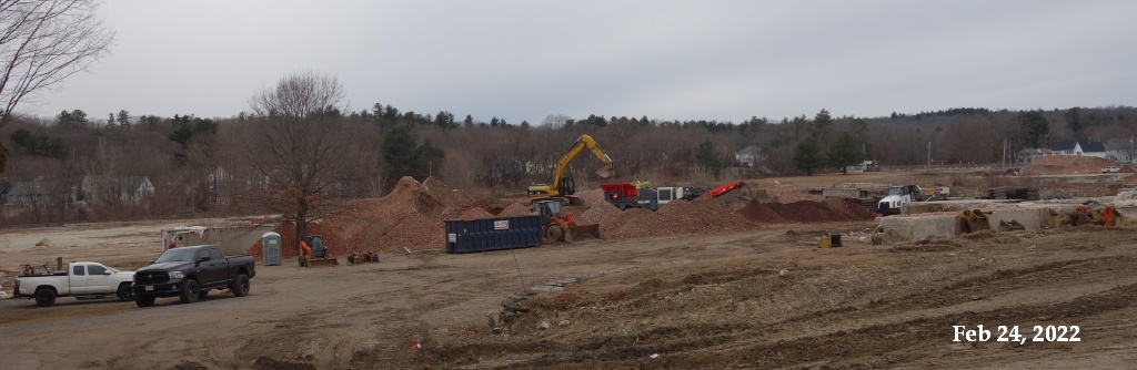
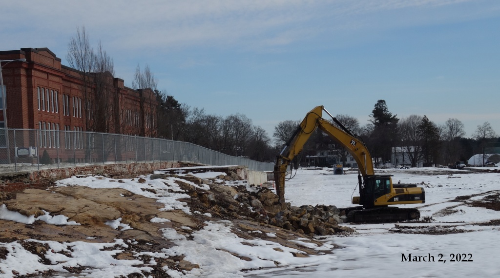
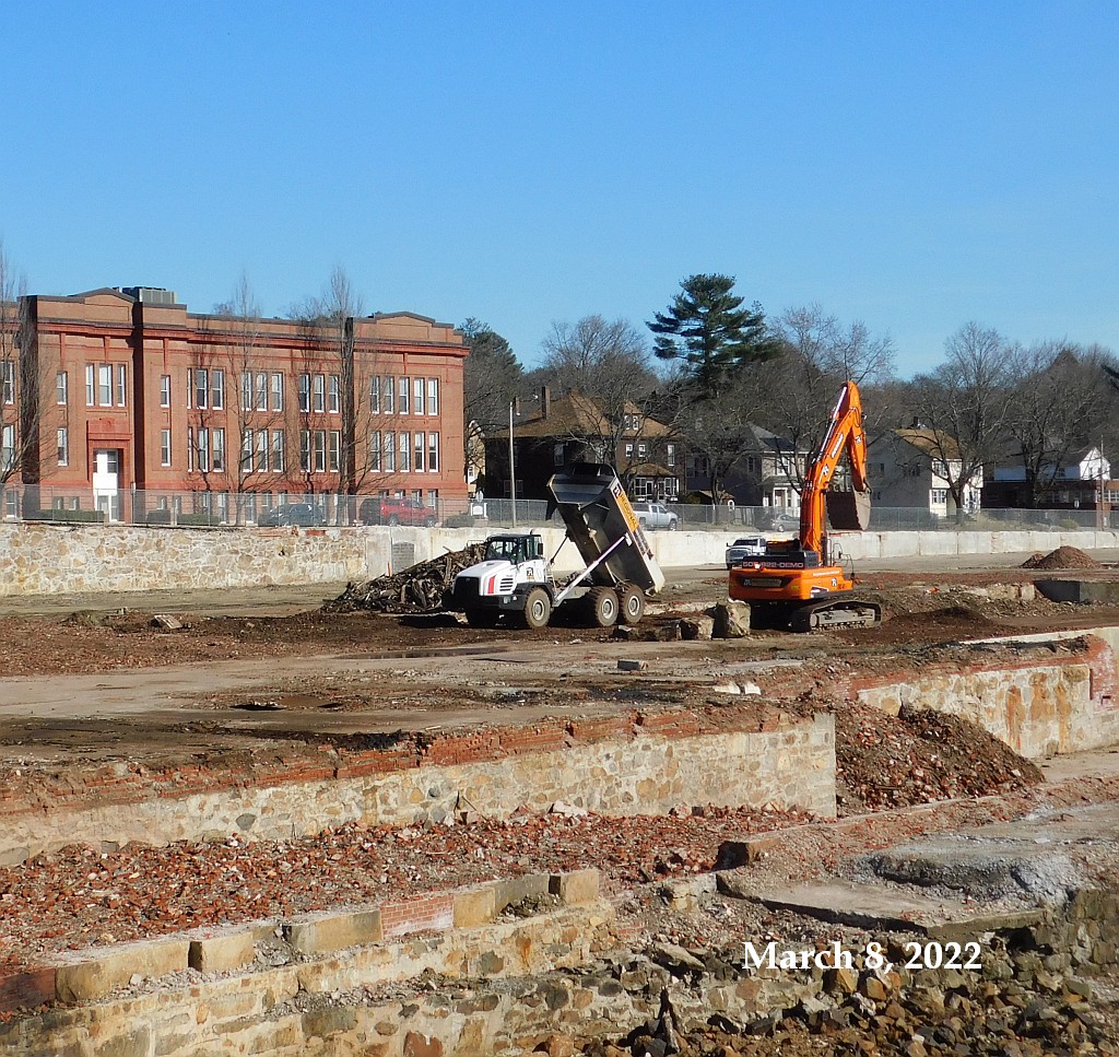
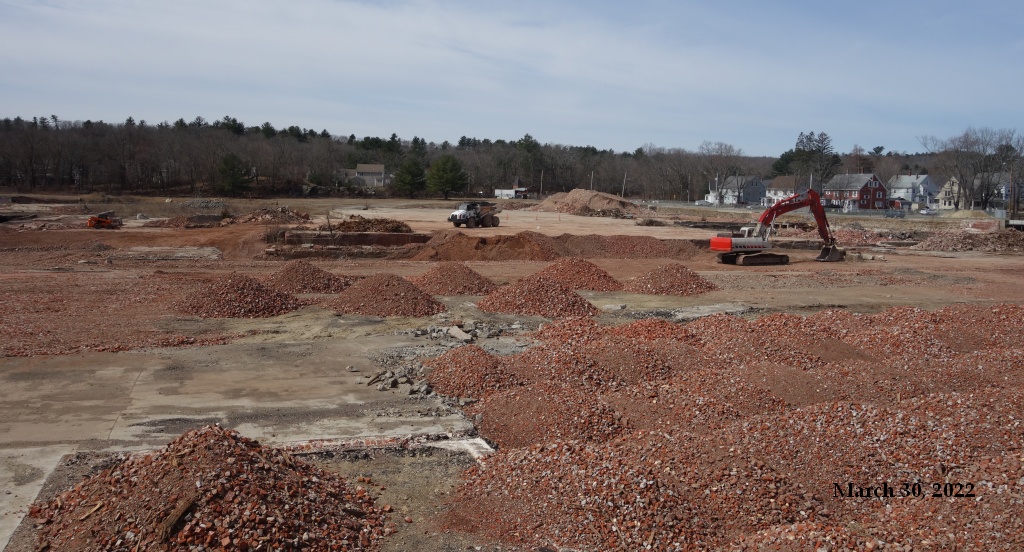
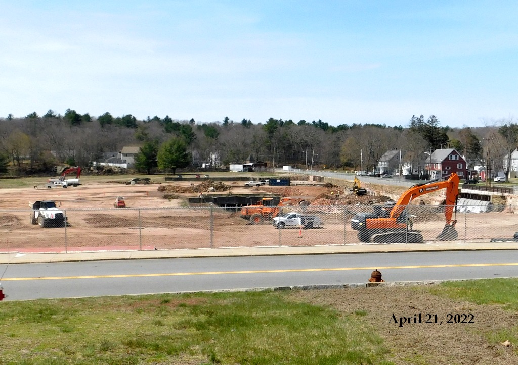
Later that year, demolition began. It left a massive hole in Hopedale’s downtown, which encompasses just 5 square miles.
Former Draper factory was once Hopedale’s center
At its peak, Draper Corp. provided 4,200 jobs. It was once the biggest automatic loom maker in the world, producing more than 2,000 looms per month.
In August 1980, the last employees clocked out at Draper Corp. for the final time after more than 130 years in business.
The factory then sat mostly empty for more than 40 years. In December 2020, Philip Shwachman announced he was tearing down the entire complex in favor of a major redevelopment, one that would include housing, shops and a bike trail.
‘Treat this job very differently’:Mitch Ruscitti brings experience, connections as Hopedale administrator
In a statement, Town Administrator Mitch Ruscitti said the Draper property “is integral to not only the town’s past, but also its future.”
“It is centrally located in the town and has long represented the heartbeat of this community,” Ruscitti said. “The operations of the Draper mill permeated throughout town; all the surrounding housing and infrastructure was built to support the mill and its employees. Historically, the importance of the parcel cannot be understated. In no uncertain terms, the town of Hopedale would not have developed the same without the Draper facility, operations, and the people that worked in the mill.”
The sheer size of the Draper property, within such a small community, creates a unique opportunity for a Massachusetts town to reshape its entire downtown. By itself, the Draper land comprises about 2.5% of the entire town.