The little bridge is near where the Dutcher Street entrance road meets the main road. You can get just a glimpse of the fieldstone side of it at the left middle of the picture. It’s pretty well covered with poison ivy.          

                                       A Walk Through the Parklands
                             The First Bridge to the Second Fireplace

About a hundred yards past the little bridge in the picture above, there is a shortcut.  It goes off to the right, up a small hill, and rejoins the main road a couple of hundred yards away. The main road stays closer to the pond.)

Following the main road, about a hundred yards beyond the shortcut, is a path to the left which goes up a small hill. It leads to a picnic area. This area was added in 1957. By that time, the picnic areas already established were known as the First, Second, and Third fireplaces, I think every kid in town years ago knew these names and where they were, so this one coming between the first and the second sort of confuses the matter. To deal with that confusion, I’ll refer to this one as “the picnic area on the hill.” What used to be called the Second Fireplace I’ll refer to as the Mid-point Fireplace, and for the former Third Fireplace, I’ll go with what was evidently it’s original name; Maroney’s Grove.

Just a short distance further on, you can walk off to the left and go out to the middle of a narrow part of the pond on a little peninsula. For years I thought it was the remains of a dam that had been built during the 1949 dredging job. (See the photo with the label in the lower right marked D-4060 for an aerial view of this location.) However, when I saw  a Parklands map drawn in 1913 and noticed that same spot was marked “Site of Cutler Bridge,” I concluded that a long-gone bridge must be the explanation for it. It seemed that it must have been the approach to a bridge that had been there back when the Cutler family had a farm in the area. The aerial view looks like something was going on there at the time of the dredging, but it didn’t really appear to have water backed up behind it. Then a few days ago (October 2010), I was down by the pond and got to talking with Dick Hoberg, who remembered the dredging job quite well. He said a dam was built there for the dredging, but that the remains of the approach to the bridge was already there. They added to it, evidently spreading some fill on top of what was already there, and built a wooden spillway.

Dick also mentioned that the dredging didn’t go as well as planned. The pond never dried out as well as expected and that created a lot of difficulty. As each shovelful came up from the bottom, it was so soupy that much of it drained out of the shovel. Then more drained from the trucks as they were loaded with it.

Along this part of the Parklands, described above, you can find false Solomon’s seal, Canada Mayflower, skunk cabbage, starflower and multiflora rose.  (See wildflower menu.) No matter where you go, you don’t seem to be out of sight of poison ivy.

Continuing along on the road, you’ll eventually reach the first point on the next page, the Mid-point Fireplace.

The shortcut goes off to the right in this picture. Stay on the main road to go to the hilltop picnic area or the remains of the long-gone Cutler bridge site and dredging dam.

The hilltop fireplace.

You may not be able to tell much from this picture, but it shows the path out to the peninsula mentioned above.

This picture, taken on November 18, 2010, when the pond had been lowered to repair the dam, shows the site of the Cutler Bridge, and as mentioned above, used as a dam during the 1949 dredging job. The two photos below, taken looking east, are also from November 18.

The Cutler Bridge site viewed from the west side during a time of normal water level – December 17, 2011.

In this Google Earth view, the white arrow points to the remains of the approach to the Cutler bridge.

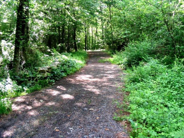
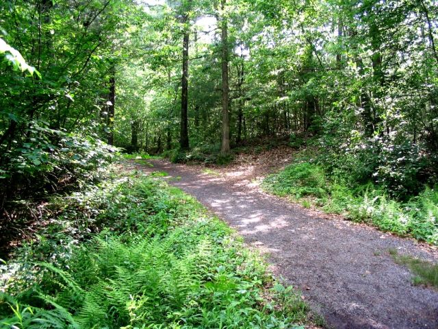
No. 30 is the Cutler place, on an old discontinued “Drift-way or Bridle-Road,” that led from what is now Freedom St., north-eastwardlv, over the Cutler bridge, towards the Dea. Rawson place. David Cutler was its most prominent early owner, and dwelt, in 1760, where the ruins now are. Then said ” Drift-Way” was laid. I have never been there to inspect the site, but am told that it is situated on a north-easterly line from the Cutler bridge, forty rods or more in the direction of the Rawson estate. I suppose the Cutler place descended to his heirs, was sold out to different purchasers, and ere long passed out of the family name. The house is said to have been tenanted last by one Pease, who had Indian blood in his veins. I have not been told the date of its final abandonment. Adin Ballou, History of Milford, p. 395.

CUTLER, Davtd; ancestry not traced, nor birth-date. found; m., 1st, Mehetabel Whitney, dr. of Jonathan and Susanna Whitney, b. Holl., Dec. 27, 1719; date of cer. not found. She was a sister of Eld. Abraham
Jones’s wf., and also of Mrs. Joseph Jones. Their chn. :—
Jonathan, b. June 23, 1747; untraced.
Abigail, b. Oct. 11, 1749; untraced.
Sosanna, b. July 11, 1752; untraced.
Nathan, b. Feb. 22, 1755; m. Ruth Nelson, Dec 25, 1777.
CUTLER, CUTTING, DALE. 693
David, Jim., b. Aug. 22, 1757; m. Esther Evans, Up., 1783.
Mehetabel, b. May 8, 1762; m. Nathaniel Flagg of Up.. Nov. 13, 1782.
The ch. records show that David Cutler was received into our Cong. ch.
from the ch. in Lexington, Dec. 27, 1747, and his wf. from the ch. in Hoi I., June 4, 1749. All their chn. were duly bap. Mrs. Mehetabel d., date not found; and the hus. ra., 2d, wid. Joanna Atwood, a dr. of William Cheney, jun. ; cer. Dec. 28, 1768, by Rev. A. Frost. Issue:—
Caleb, b. July 23. 1771.
Joanna, b. Sept. 24, 1772; m. Dan Kilburn, Holl., Sept. 9, 1787.

This family dwelt in the valley of Mill River, a mile north of Hopedale.Their homestead lay south of Eld. Abraham Jones’s, now called the Jared Rawson place, and included a part of the Eli Chapin place, often so called. ” The Cutler Bridge” derived its name from David Cutler. See Chap. XV. Abandoned Home-sites, No. 30. I have not discovered what became of this family. When or where the parents and several of the chn. d., I have not learned. David, jun., who m. Esther Evans, had but one child recorded here, — Elizabeth, b. June 12, 17S3; d. Aug. 18, 1784. He soon d. ; and his wid. m. Jonah Thayer of Heath, Dec. 28, 1786; cer. by Rev. A. Frost. None of the descendants further traced. Adin Ballou, History of Milford.

                                  Next Page – Mid-point fireplace to Maroney’s Grove  

   1949 Pond Dredging Project  

          Bridges of Hopedale Pond           Sports, Park and Pond Menu            HOME