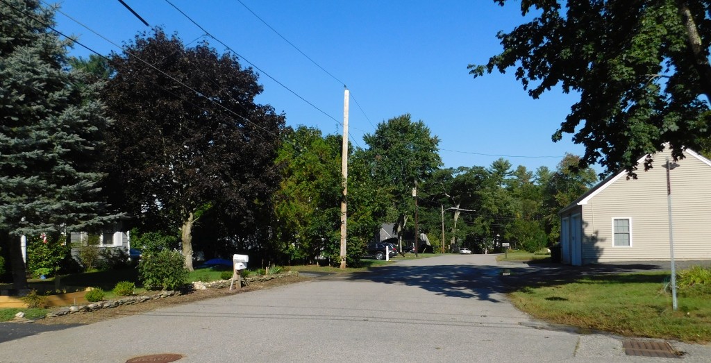
The Driftway and Cutler Street
The Driftway – Developed in the 1950s by Norman Henry who operated a farm at 200 Dutcher Street. A Milford News article at the time (below) tells of the development. However, some sort of road existed there much earlier.
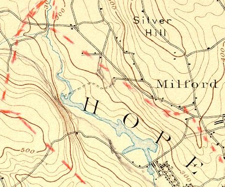
Mr. and Mrs. Arthur C. Rockwood and son, formerly of 469 Purchase Street, Milford, have moved into their new home in the Norman S. Henry development off Dutcher Street. They are the first to occupy a house in the development, though other houses are nearing completion close by. This area is entered by a roadway referred to in Adin Ballou’s book, History of Milford, as Driftway. In the early days the road crossed the present P. E. Casey farm on West Street, continued through to what is now Dutcher Street and entered what is now the development. The road then crossed a bridge on Mill River below the present Rustic Bridge, that was known as Cutler Bridge. [A 1913 map of the Parklands shows the location of the bridge, gone by that time. It was about halfway between Freedom Street and the Rustic Bridge. The approach to Cutler Bridge is still there, on the east side of the pond.] The road continued on through the woods though the present Clark estate on Overdale Parkway and the Harvey Trask farm to Mendon. The new road has not been named, but due to its early history, might well be called Driftway. Milford Daily News, August 1950
The dictionary definition for driftway is, “A common way, road or path for driving cattle.”
Cutler Street – No. 30 [in Ballou’s list of abandoned home-sites in his History of Milford] is the Cutler place, on an olddiscontinued “Drift-Way or Bridle-Road,” that led from what is now Freedom St., north-eastwardly, over the Cutler Bridge, towards the Dea. Rawson place. David Cutler was the most prominent early owner, and dwelt, in 1760, where the ruins now are. Then said “Drift-Way” was laid. I have never been there to inspect the site, but am told that it is situated on a north-easterly line from the Cutler Bridge, forty rods or more in the direction of the Rawson estate. I suppose the Cutler place descended to his heirs, was sold out to different purchasers, and ere long passed out of the family name. The house is said to have been tenanted last by one Pease, who had Indian blood in his veins. I have not been told the date of its final abandonment.” Adin Ballou, History of Milford. For more on this, use the link above to see the 1913 map, which shows the location of Rawson’s Bridge, and the former location of Cutler’s Bridge, and also, Bridges of Hopedale Pond.
Origin of Street and Place Names Short Stories and Pictures Menu HOME